EO SPACECRAFT CAPABILITIES
| Spacecraft | Payload | Day & Night | Through Cloud | Through Smoke | Video | Detect fire | Detect smoke | Rapid Damage Assessment | Large Area Damage Assessment |
| Carbonite | High Resolution Optical |  | | | |||||
| DarkCarb | Medium Wave Infra Red | |  | | | | | | |
| CarbSAR | X-band Radar | | | | | | |||
| TrueColour | Wide swath super-spectral | | | ||||||
| Precision | High Resolution Optical | | | ||||||
| NovaSAR | S-Band Radar | | | | |
Download our Small Satellite Solutions brochure
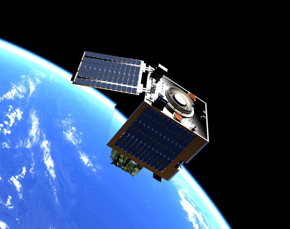
CARBONITE Earth Observation - Optical, HD colour video
Low cost 1m GSD colour video
Operating at an altitude of 500km, Carbonite satellites provide 1m GSD colour video employing a Forward Motion Compensation (FMC) imaging mode which enables captures of >120 seconds of a single target, adding a new dimension to high resolution Earth observation imagery.
Carbonite-1, launched in July 2015, demonstrated low cost, 1m GSD imagery and was followed by Carbonite-2 in January 2018 which provided the world's first commercial HD colour video from space.
Applications
- Change detection
- Pattern of life assessments
- Humanitarian and disaster management
- Global high resolution situational awareness
- National security
- Elevation model generation
- Infrastructure and asset monitoring
A constellation of Carbonite satellites would provide robustness against weather conditions and target concealment.
View/download Carbonite datasheet
View our showreel of videos of Earth acquired by Carbonite-2
View our mini Carbonite video
DARKCARB Earth Observation - MWIR
High resolution mid-wave infra-red (MWIR) imager
DarkCarb is a high resolution mid-wave infra-red (MWIR) imaging satellite with an innovative low mass and volume MWIR imager which, when combined with the implementation of novel image enhancement algorithms, will achieve high quality 3.5m GSD imagery.
MWIR imagery provides the capability to differentiate between objects and surfaces of different temperature and emissivity. As the detectable signal is only dependent on the temperature of the scene, DarkCarb also has the ability to extend imaging opportunities into the night. The video capability allows information on highly dynamic features in scenes to be provided and will be of key interest for applications relating to human activity.
Applications
- Change detection & human activity
- Pattern of life assessments
- Humanitarian & disaster management
- Global high resolution situational awareness
- National security & defence
- Infrastructure & asset monitoring
- Urban heat mapping
View/download DarkCarb datasheet
View our mini DarkCarb video
View our MWIR imager flight trials video
TRUECOLOUR Earth Observation - Optical
Medium spatial resolution and multi-spectral options
The TrueColour satellite provides a medium spatial resolution and multi-spectral resolution option in the series, using the same platform as the Carbonite series. The SSTL TrueColour imager has a wide swath and images in 9 selected bands.
Applications
- Forestry & agricultural
- Maritime
- Mapping & planning
- Disaster support

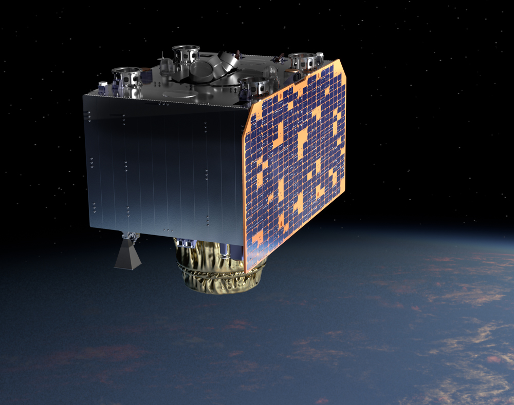
PRECISION Earth Observation - Optical, Multispectral
Multispectral imager, with high agility and high area coverage
The SSTL-Precision satellite provides very high resolution, high quality imagery in support of pan-sharpened colour mapping and surveillance applications. The spacecraft is designed to be compact in order to support affordable operations as a stand-alone unit or in constellations providing higher temporal resolution. Larger than the Carbonite high resolution imaging spacecraft, it provides higher resolution data as well as signifcantly greater data return.
Applications
- Mapping
- Surveillance
- Infrastructure and asset monitoring
- Disaster monitoring
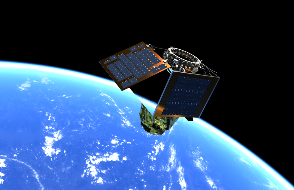
CARBSAR Earth Observation - Synthetic Aperture Radar
Deployable X-band SAR payload
CarbSAR utilises the platform heritage of the Carbonite series, and combines it with an innovative deployable X-band SAR payload to provide high resolution imaging capabilities night and day, and whatever the weather.
Applications
- Defence and security
- Maritime
- Disaster response
- Environment & infrastructure
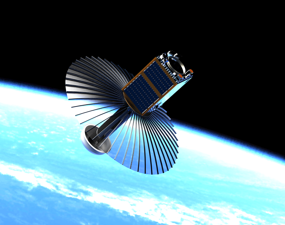
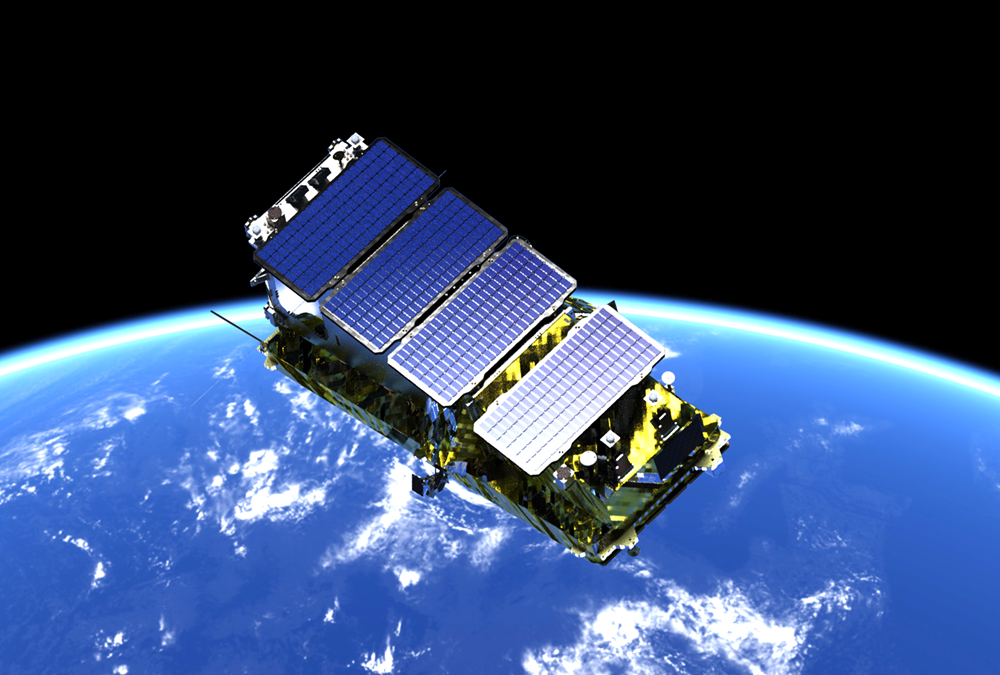
NOVASAR Earth Observation - Synthetic Aperture Radar
Small Synthetic Aperture S-Band Radar Mission
NovaSAR is a small S-band Synthetic Aperture Radar (SAR) mission designed for low cost programmes and optimised for shared launch opportunities.
- NovaSAR-1 launched 2018
- Global access with average re-visit 3-4 days
- Secondary AIS payload to provide information on detected ships
View/download NovaSAR datasheet
View S Band SAR images acquired by NovaSAR-1
View our mini NovaSAR video