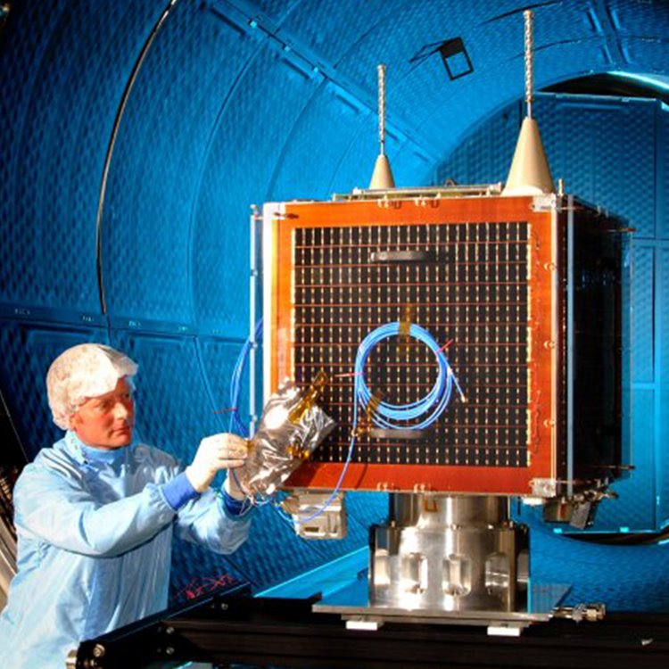
NigeriaSat-1: Launched 2003
Built under a training and transfer programme with the Nigeria Space Research & Development Agency, the 100kg NigeriaSat-1 satellite provided 32m multispectral imaging with a 600km wide swath. The imaging system was fitted with normalised differential vegetative index (NDVI) technology capable of giving early warning signals of natural and environmental disasters.
Hurricane Katrina
In August 2005, the seventh most intense Atlantic hurricane hit the Gulf coast of America where it caused severe destruction and flooding resulting in over 1,800 deaths. The worst affected area was New Orleans, where the levee system failed and 80% of the city was flooded. NigeriaSat-1 provided the first satellite image of New Orleans to the USA’s disaster response co-ordinators. It captured a wide-area image that showed breaks in the levee system along the coastline, and the extensive inland flooding of the city.
In 2012 NigeriaSat-1 was retired from service after 8 years.