Approximately 60% of Zambia is covered in some form of forest, most of which comprises of Miombo woodland, which is a tropical/subtropical grassland, savannas and shrublands. Such a biome is very important to local flora and fauna, including endemic bird specials, the African elephant, antelope and more. In addition, approximately 12.5% of Zambia is covered in Dambo, which are shallow wetlands and are vital for the water cycle and the biodiversity of the region.
The above image is a prime example of how forested areas in Zambia should look when there is minimal human presence.
But how do things look when human activity is more noticeable? Conversion and establishment of cropland play a leading role in environment loss in Zambia and have clearly occurred in the image above. Because of the way the fields branch out, it makes it very difficult for there to be effective wildlife corridors to untouched woodland. Zambia also has a lack of energy infrastructure in rural areas meaning that wood is the primary energy source for many people. These factors have resulted in the loss of 300,000 ha of forest cover loss each year. This image depicting agricultural expansion is actually only 30Km from the previous image of pristine forest, showing how the natural flora has been drastically impacted by human activity.
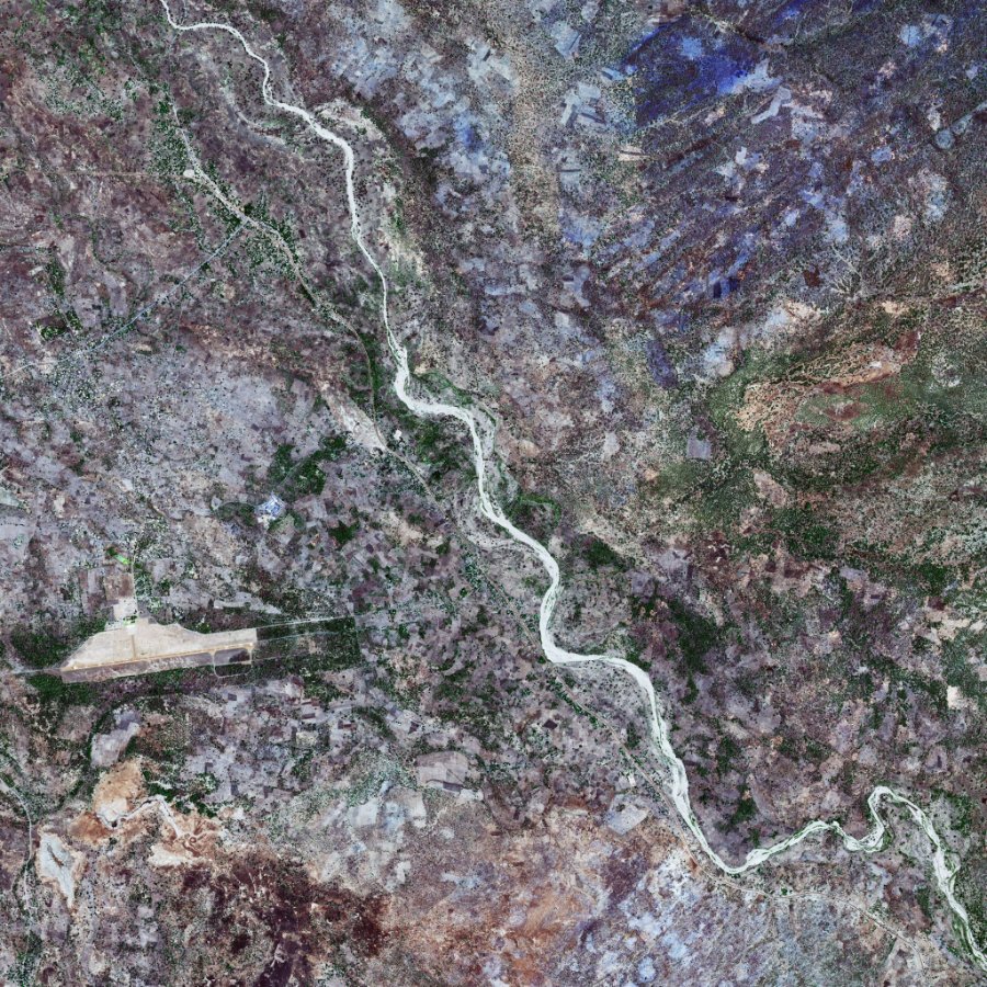
The above image, clearly depicting the Mfuwe International airport and Msandile River, contrasts with the earlier forested images and displays Zambia’s diverse landscape and complex ecosystems that are present in the country. Further Infrastructure development is vital for Zambia’s economic & human development and yet such investment comes with an environmental impact. Between 2001 and 2021, Zambia’s tree cover reduced by over 2 million hectares. Satellite imagery can not only record changes to the environment, but also help Zambia’s Government better manage both the needs of their economy and diverse rural eco-system.
Imagery credit: SSTL