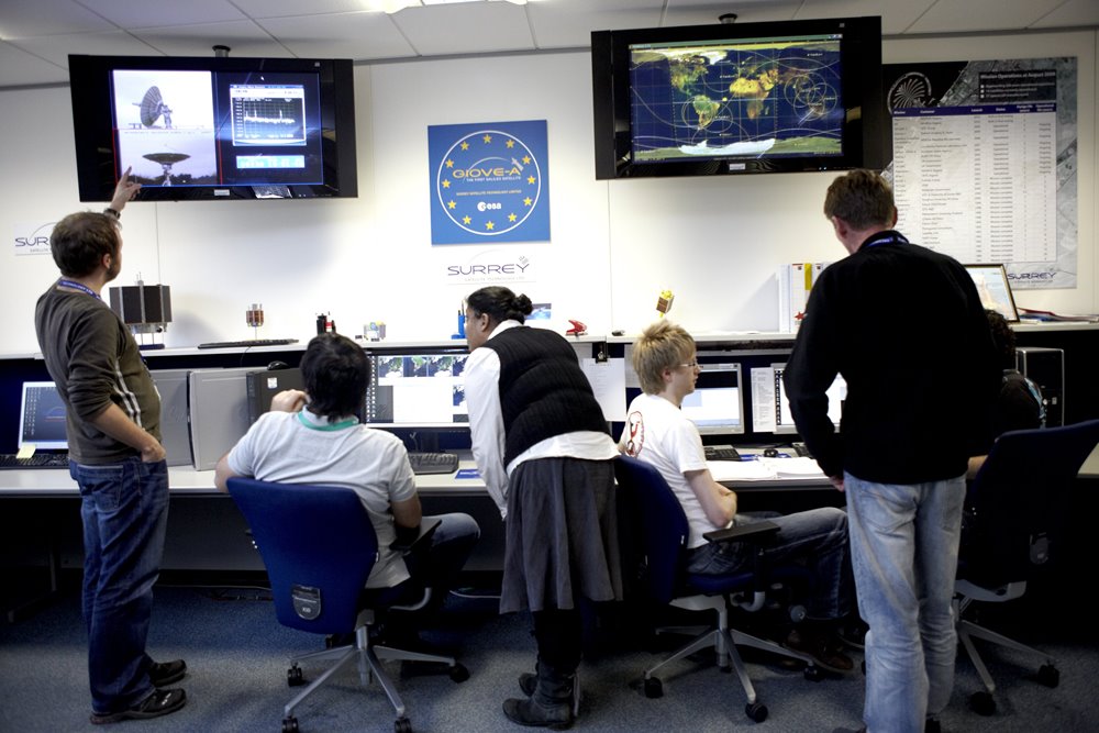
We acknowledge that the key to a successful long-term national space programme is the uptake of the information coming from the space asset and the success of the mission. That’s why our role does not finish at the launch of the satellite and we provide extensive training in effective exploitation of the satellite technology.
SSTL, together with its Partners, transfers knowledge and expertise to our Customers in the exploitation of satellite data, in particular Earth observation, through enhancing understanding and facilitating development of satellite applications.
We offer short courses for specific stakeholders and bespoke extended capacity building programmes to support the creation of an independent national capability.
Supporting Effective Satellite Exploitation Active use of your satellite
Our extended capacity building programmes are aimed at allowing our Customers to develop their own independent capability in the exploitation of Earth observation data. These programmes are tailored to the specific application needs and interests of the Customer and their stakeholders and include:
- End-user engagement and requirement gathering
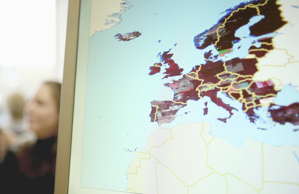
- Theory and practical training in handling remote sensing data for variety of applications: forestry, disaster management, water management, agriculture, mining, infrastructure etc.
- Supporting setting up operational services based on satellite data
Data Distribution Strategy Reaching all your users
- Supporting establishment of an appropriate organisational structure to ensure effective data acquisition, handling and distribution to the end-users
- Stakeholders’ engagement in order to set up data distribution policies
- Designing the tools to enable streamlined data acquisition and distribution
In-country Capacity Building Short courses
1 day to 2 weeks courses, tailored to the customer
- Principles of Earth observation and remote sensing
- Introduction to sensor and data types
- Optical and SAR image processing, enhancement and interpretation
- EO data use in: forestry, disaster management, water management, agriculture, mining, infrastructure etc.