search
What we do
What we do
Satellite Platforms
Overview
SSTL-CUBE
SSTL-MICRO
SSTL-MINI
Earth Observation Spacecraft
Lunar Mission Services
Overview
Lunar Pathfinder Mission Builder
Navigation & GNSS-R
Customer Training
Overview
Training Satellite Build Programme
Exploiting Your Satellite
Customer Training Case Studies
Customer Testimonials
Space Services
Subsystems
Space Portfolio
Space Portfolio
Missions in Build
Innovations
Launched Missions
Overview
2020-2029
2010-2019
2000-2009
1990-1999
1980-1989
Customer Training Programmes
Constellations
The Disaster Monitoring Constellation
Media Hub
Media Hub
Latest News
Images
Videos
Our Brand
About Us
About Us
Our Locations
Management & Ownership
Downloads
Statutory
Overview
Section 172 Companies Act
Careers
Contact Us
search
Images
Home
Media Hub
Images
Optical Earth images
(59 photos)
Optical Earth images
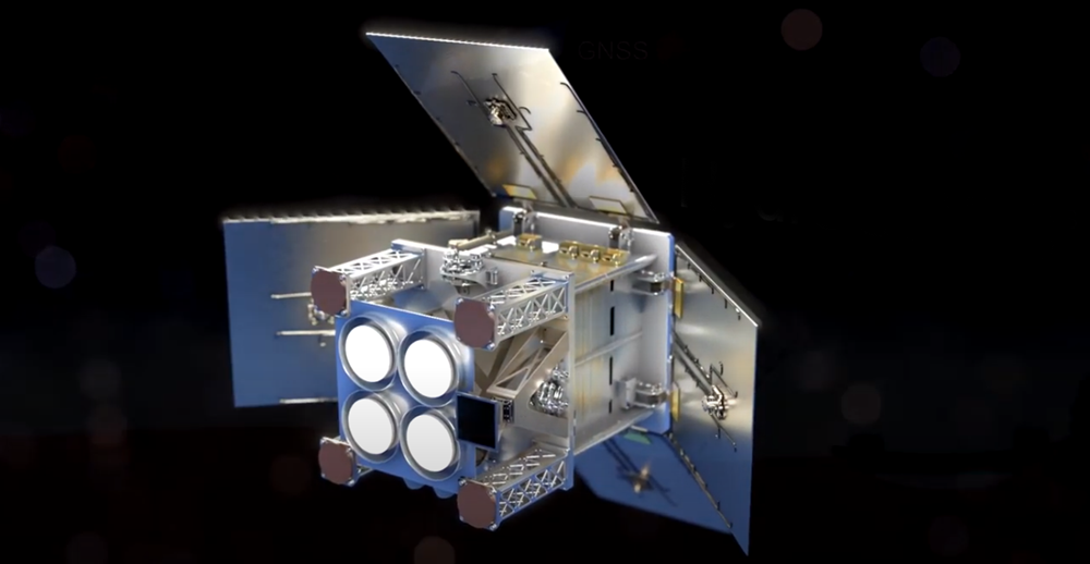
HydroGNSS
(3 photos)
HydroGNSS
Lunar
(5 photos)
Lunar
SAR Earth Images
(14 photos)
SAR Earth Images
Innovations
(3 photos)
Innovations
DoT-1
(5 photos)
DoT-1
NovaSAR-1
(13 photos)
NovaSAR-1
HOTSat-1
(1 photo)
HOTSat-1
RemoveDEBRIS
(2 photos)
RemoveDEBRIS
ELSA-d Target
(3 photos)
ELSA-d Target
THEOS-2 SmallSAT
(1 photo)
THEOS-2 SmallSAT
CARBONITE-1 and CARBONITE-2
(2 photos)
CARBONITE-1 and CARBONITE-2
FORMOSAT-7
(2 photos)
FORMOSAT-7
EUTELSAT QUANTUM
(2 photos)
EUTELSAT QUANTUM
Galileo Navigation Payloads
(2 photos)
Galileo Navigation Payloads
KazSTSAT
(2 photos)
KazSTSAT
VESTA
(2 photos)
VESTA
Telesat LEO Phase 1
(1 photo)
Telesat LEO Phase 1
TechDemoSat-1
(3 photos)
TechDemoSat-1
SSTL People
(3 photos)
SSTL People
DMC3/TripleSat Constellation
(2 photos)
DMC3/TripleSat Constellation
SSTL facilities
(2 photos)
SSTL facilities
Search the Site
Search the site
Search