GALILEO
SSTL developed and delivered the first operational payload for Galileo, Europe's satellite-supported navigation programme, as part of the GIOVE-A satellite mission, launched in 2005.
Between 2010 and 2020 SSTL supplied 34 navigation payloads for Galileo, with a payload solution based on European sourced atomic clocks, signal generators, high power TWTAs and Antennas.
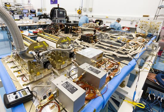 SSTL's Galileo navigation payload during assembly
 GIOVE-A satellite
GNSS Receivers and Antennas
Our Space GNSS receivers (SGRs) are highly regarded for quality and robustness and are flying on most of our own satellites and many other spacecraft.
Space GNSS Receivers routinely provide position, velocity and time information to satellites in low Earth orbit, and more than 70 orbiting satellites have used receivers and antennas provided by SSTL, on missions from UKSA, ESA, NASA, USAF, JAXA, RemoveDEBRIS and on the International Space Station. SSTL’s receivers are based on COTS components, with radiation mitigation and quality processes to suit small satellite applications.
GNSS Reflectometry
GNSS Reflectometry (GNSS-R) is an Earth observation technique that uses GNSS signals as L-Band radar sources, allowing the satellite to take measurements of ocean wind speeds, polar ice and hydrological land parameters at a higher spatial resolution and an order of magnitude lower cost than other methods.
SSTL has pioneered the new field of GNSS-R with successful payloads on board TechDemoSat-1, DoT-1 and the NASA CYGNSS constellation, and is continuing to develop the technology and data analysis in pursuit of this new science.
GNSS-R data from SSTL’s satellites is available via the MERRByS website.
Data from the SSTL GNSS-R instruments on-board the CYGNSS mission have demonstrated the potential for soil moisture measurement by GNSS Reflectometry, and preliminary work shows that GNSS-R also has good sensitivity for Freeze-Thaw sensing in the active zone of permafrost. Unseasonal changes in the permafrost cycles could potentially release larger quantities of methane, which risks exacerbating global climate change. GNSS-R can also be used to assess biomass, a measure of forest density which acts as a vital sink for removing carbon dioxide from the atmosphere. In addition to longer term climate observations, soil moisture and inundation measurements from GNSS Reflectometry can provide important information for short term operational purposes, for example, towards Numerical Weather Prediction and flood warnings following rainfall events.
ESA Scout - HydroGNSS mission
SSTL has been awarded an ESA Scout Mission contract for HydroGNSS, a 55kg small satellite mission to measure climate change variables. The HydroGNSS mission concept makes advanced use of new GNSS Reflectometry techniques such as Galileo signals, dual polarisation, and coherent signal acquisition to measure 4 Essential Climate Variables (ECVs) over land: Soil Moisture, inundation, permafrost freeze/thaw, and biomass.
Discover more about the HydroGNSS mission